

Research and Satellite Networks
- 27 Mar, 2024
- Posted by: Michael Mathison
Research and Satellite Networks
Satellite networks have dramatically transformed the research industry, opening up unprecedented avenues for data collection, environmental monitoring, and global communication. By providing extensive coverage and high-capacity data transmission capabilities, these networks enable researchers across disciplines—from climate science and oceanography to archaeology and space exploration—to gather and share information in real-time, even from the most remote or inaccessible parts of the planet.
This connectivity not only accelerates the pace of discovery and expands the scope of research projects but also fosters collaboration among global research communities, facilitating a deeper understanding of our world and beyond. Satellite technology, therefore, stands as a cornerstone of modern research, driving innovation and knowledge in an interconnected world.

Oceanic
Satellite networks play a pivotal role in oceanic research, significantly enhancing the study of marine environments and processes. These networks facilitate a broad range of activities crucial for understanding the oceans, from monitoring climate change impacts to mapping the seafloor. Here’s how:
Explanation:
Satellite networks provide comprehensive coverage of the Earth's oceans, enabling the continuous collection of data on sea surface temperatures, sea level rise, ocean color, and marine life patterns. This global perspective is essential for tracking large-scale environmental changes and understanding oceanic processes. Satellite technology also supports the precise navigation and operation of research vessels and autonomous underwater vehicles (AUVs), allowing for more targeted and efficient exploration.
Furthermore, real-time communication capabilities enable immediate data transmission from oceanic research expeditions to scientists worldwide, fostering collaboration and accelerating the pace of discovery. By leveraging satellite networks, oceanographers and marine scientists can gain unprecedented insights into ocean health, biodiversity, and the impacts of human activities on marine ecosystems.
How Oceanic Research is Affected by Satellite Networks:
-
Climate Monitoring: Tracks sea surface temperatures and ocean currents, providing critical data for climate models and weather forecasting.
-
Sea Level Monitoring: Measures sea level rise, contributing to the understanding of climate change impacts on coastal communities and ecosystems.
-
Marine Ecosystem Health: Monitors ocean color and chlorophyll concentrations, indicating phytoplankton abundance and overall marine ecosystem health.
-
Navigation and Tracking: Enhances the navigation of research vessels and the tracking of tagged marine animals, supporting studies on migration patterns and habitat use.
-
Data Transmission: Allows for the real-time transmission of data from oceanic sensors and research stations, enabling immediate analysis and sharing.
-
Remote Sensing: Facilitates the remote sensing of oceanic phenomena, including harmful algal blooms, oil spills, and marine debris concentrations.
-
Seafloor Mapping: Supports detailed mapping of the seafloor, uncovering underwater features and resources.
-
Ice Monitoring: Tracks changes in polar ice caps and icebergs, important for understanding polar ecosystems and global climate dynamics.
-
Operational Safety: Ensures the safety of research vessels and crews by providing communication capabilities in remote oceanic regions.
-
Collaborative Research: Fosters global collaboration by connecting oceanic researchers from around the world, sharing data and insights across borders.
Satellite networks are indispensable to modern oceanic research, offering tools and data that significantly advance our understanding of the oceans. This technology enables researchers to address some of the most pressing environmental and scientific challenges of our time, from climate change and biodiversity loss to sustainable resource management.

Wildlife
Satellite networks have significantly impacted wildlife research, offering revolutionary methods for monitoring, tracking, and studying animals in their natural habitats. By providing global coverage and the ability to transmit data from remote locations, these networks have opened new vistas in understanding animal behavior, migration patterns, and environmental interactions. Here’s how:
Explanation:
Satellite technology enables researchers to track wildlife over large distances and in inaccessible areas, gathering valuable data on migration routes, breeding grounds, and habitat use. This information is crucial for conservation efforts, allowing for the identification of threatened areas and the development of strategies to protect endangered species. Additionally, satellite imagery helps in assessing changes in land use and climate, offering insights into their effects on wildlife populations and ecosystems.
Satellite networks also facilitate real-time monitoring of wildlife health and population dynamics, supporting disease control and management interventions. By leveraging satellite technology, wildlife research can achieve a broader, more comprehensive perspective, contributing significantly to the preservation of biodiversity and the sustainability of natural ecosystems.
How Wildlife Research is Affected by Satellite Networks:
-
Tracking and Monitoring: Allows for the tracking of individual animals or groups over vast distances, providing insights into migration patterns, habitat preferences, and social structures.
-
Habitat Analysis: Satellite imagery enables the study of changes in habitats, such as deforestation, urbanization, and climate change impacts, affecting wildlife populations.
-
Population Studies: Supports the estimation of wildlife populations and their distribution, essential for conservation planning and endangered species protection.
-
Behavioral Studies: Facilitates the observation of animal behavior in natural environments, contributing to understanding species' ecological roles and interactions.
-
Environmental Impact Assessments: Assists in evaluating the effects of human activities on wildlife and natural habitats, guiding mitigation and conservation efforts.
-
Disease Monitoring: Enables the tracking of diseases affecting wildlife, supporting efforts to manage outbreaks and understand disease transmission patterns.
-
Climate Change Research: Offers data on the implications of climate change for wildlife, including shifts in habitats, food sources, and migration timings.
-
Conservation Strategies: Satellite data informs the development and implementation of effective conservation strategies, including protected area management and anti-poaching efforts.
-
Educational Outreach: Provides compelling imagery and data for educational programs, raising awareness about wildlife conservation issues.
-
International Collaboration: Facilitates collaboration among global research teams, sharing data and insights to address transboundary wildlife conservation challenges.
Satellite networks are thus crucial for advancing wildlife research, providing the tools and data needed to monitor, protect, and understand the natural world more effectively. This technology plays a key role in supporting conservation efforts and promoting a sustainable coexistence between humans and wildlife.
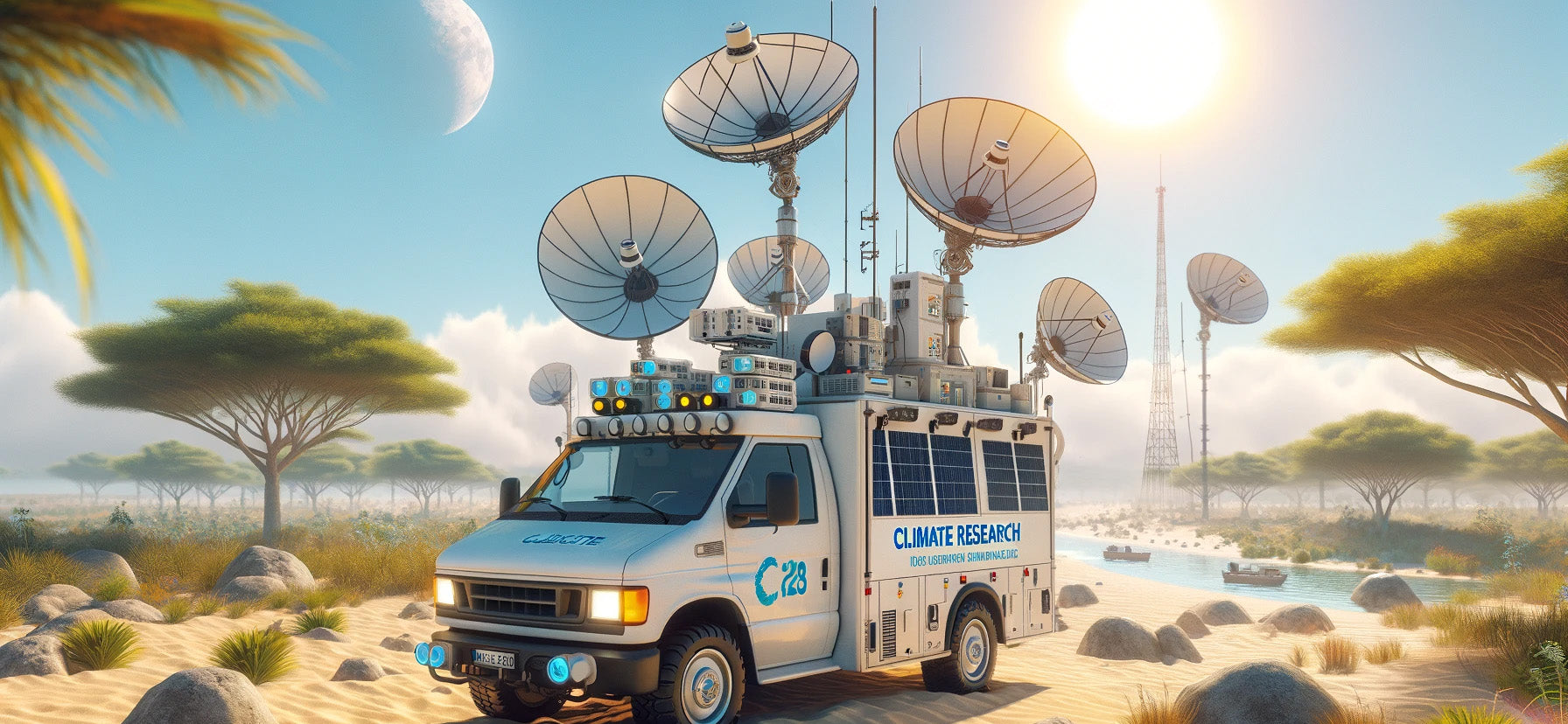
Climate
Satellite networks play a critical role in climate research, providing essential data and insights that drive our understanding of Earth's climate system, its changes, and impacts. These networks enable comprehensive monitoring of the atmosphere, oceans, land, and ice, offering an unparalleled perspective on global and regional climate dynamics. Here’s how:
Explanation:
Satellite technology facilitates the continuous observation of Earth’s climate, collecting data on a wide range of variables, including temperature, precipitation, sea level rise, and greenhouse gas concentrations. This information is vital for modeling climate change, predicting weather patterns, and assessing the effectiveness of mitigation strategies. Satellite networks also support the study of extreme weather events, such as hurricanes, droughts, and floods, helping researchers understand their frequency, intensity, and impacts.
Additionally, these networks enable the monitoring of polar ice melt, deforestation rates, and ocean acidification, contributing to our knowledge of climate change drivers and effects. By providing accurate, real-time data from remote and inaccessible regions, satellite networks are indispensable for advancing climate science and informing global policy and action on climate change.
How Climate Research is Affected by Satellite Networks:
-
Atmospheric Monitoring: Tracks atmospheric conditions and greenhouse gas concentrations, essential for understanding climate change.
-
Ocean Observation: Collects data on sea surface temperatures, sea level rise, and ocean currents, critical for climate modeling and weather prediction.
-
Land Surface Analysis: Monitors land use changes, deforestation rates, and desertification, informing conservation and sustainable management efforts.
-
Ice and Snow Cover Tracking: Observes polar ice sheets and glaciers, providing insights into the impacts of global warming on ice melt and sea level rise.
-
Extreme Weather Tracking: Enables the study of hurricanes, storms, droughts, and floods, improving our understanding of their relationship with climate change.
-
Ecosystem Health Monitoring: Assesses the health and productivity of ecosystems, such as forests and coral reefs, affected by changing climate conditions.
-
Climate Modeling: Supplies critical data for developing and refining climate models, predicting future climate scenarios, and assessing mitigation strategies.
-
Air Quality Assessment: Monitors pollutants and aerosols in the atmosphere, contributing to studies on air quality and its impacts on health and climate.
-
Solar Radiation Measurement: Measures the Earth's radiation budget, crucial for understanding the energy balance and climate dynamics.
-
Policy and Decision Support: Provides the scientific basis for climate policy and decision-making, offering evidence for international negotiations and climate action plans.
Satellite networks are foundational to climate research, offering the detailed observations needed to advance our understanding of climate change and its impacts. This technology supports a wide array of studies that are crucial for developing effective strategies to mitigate climate change and adapt to its effects.